The Other Rocks
The carved rocks are found in clusters around the town of Brookville, PA and surrounding area. Some can be found as far as 2 1/2 miles from the center of town. Most are in wooded areas where sandstone cliffs and large boulders are abundant and positioned along paths, old roadways, and the railroad.
If you plan to visit any of these sites, please remember they are on PRIVATE PROPERTY and respect the landowner’s rights and wishes.
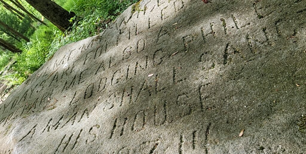
County Home Run
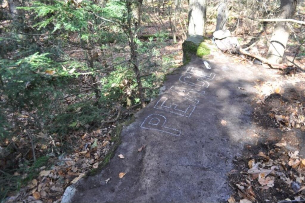
County Home Run is made up of several small groups of rocks scattered along the hillside north of Sulgar Road. Stahlman’s journal records at least nine dedicated groups along this stretch.
Look Out Point
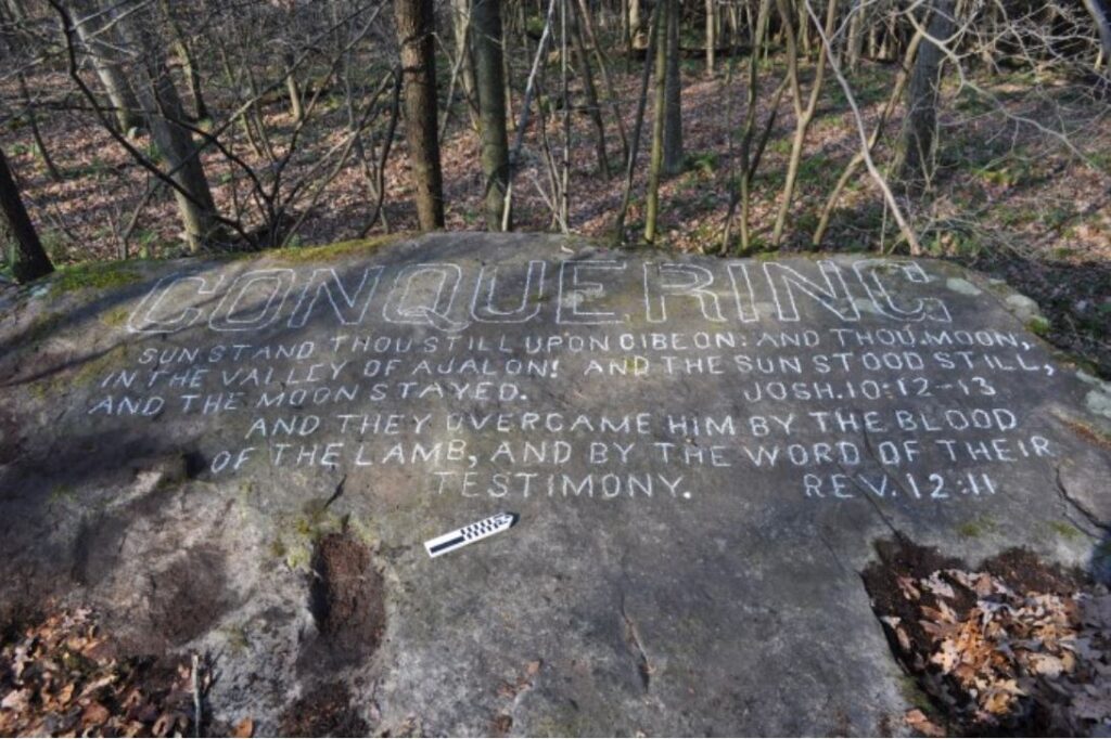
Look Out Point is located near the top of a steep slope directly behind the Humphrey offices at the intersection of Route 322 and Ent road. Stahlman refers to these dedicated rocks as one of his most important groups.
Sandy Lick Creek
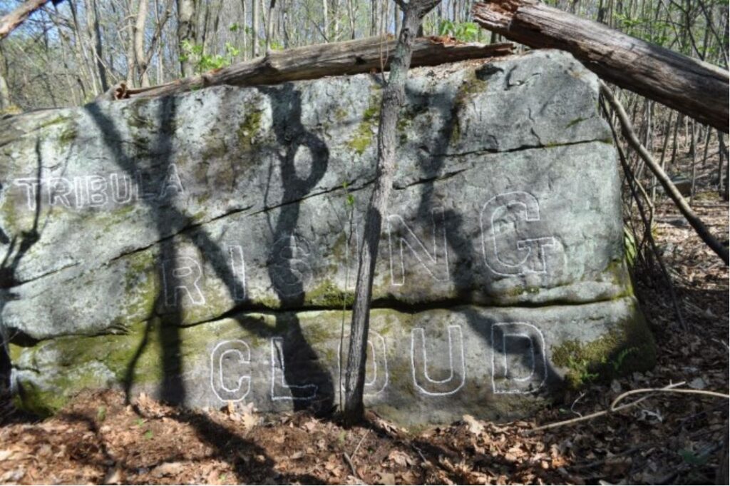
The rocks in this cluster are all located alongside the Shawmut (Formerly, Penn Central) railroad, east of Port Barnett. Includes Rising Cloud Group, Victory, and Realization.
Little Mill Creek
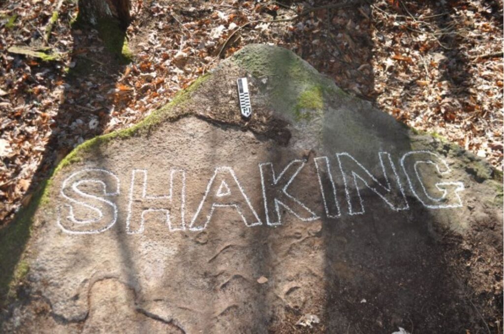
Little Mill Creek group is situated at the intersection of Sulgar and Kirkman Roads. The date September 5, 1912 is found on a panel of Levi’s Rock; the earliest date found on any of Stahlman’s rocks.
Twin Rock Springs
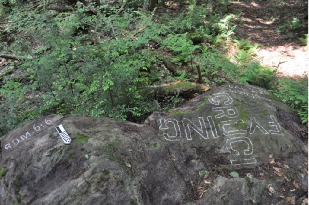
The Twin Rocks Spring site includes several groups of rocks located on the north side of Sugar Camp Run. The spring sits just below Prosperity Rock and is known for a continuous supply of clear, clean water.
Chapel Rock
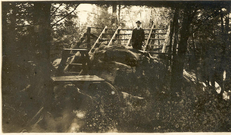
First dedicated as Martyr’s Rock, then Chapel Rock. This was the second location to have seating built upon it for services.
Red Lick Run
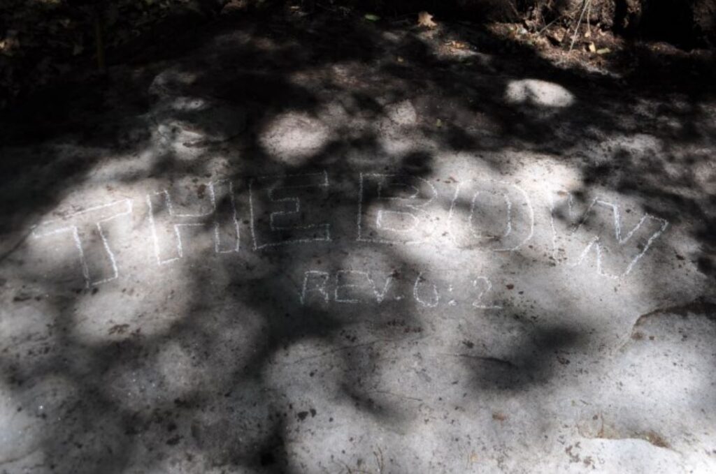
Positioned on the west side of North Fork Creek, Stahlman notes this group is in the shape of a bow. There are documented rocks in this cluster that remain undiscovered.
